New South Wales & Act
-
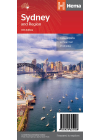
Sydney & Region Hema
A map that has the greater Sydney area (1:100,000) on one side and maps of the Sydney Region…
$10.00
-
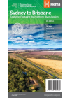
Sydney to Brisbane Hema
This map covers the two major eastern routes between Sydney and Brisbane - the Pacific and New…
$15.00
-
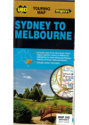
Sydney to Melbourne UBD 245
Sydney and Melbourne highlighting the Hume & Princes Highways and also includes tourist…
$12.00
-
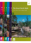
The Great North Walk Map Kit
The Great North Walk, a 250 kilometre bush walking track linking Sydney city with the Hunter Valley…
$30.00
-
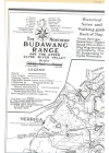
The Northern Budawang Range - Historical Anniversary Ed 1986
Historical - Anniversary Ediiton 1986 Printed on coated paper 105gsm 60cm x 85cm @ $15.00 Printed on…
$15.00
-
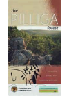
The Pilliga Forest
This map is bounded by Pilliga & Narrabri in the north to Coonabarabran in the south and shows…
$10.00
-
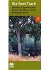
The Six Foot Track Map
Winding through State forests and national parks, the track follows the 45 kilometre…
$19.50
-
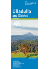
Ulladulla & District Craigies
The Ulladulla & District Map extends from Wandandian in the North to Merry Beach in the South…
$9.00
-
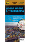
Wagga Wagga & The Riverina UBD 284
This map extends to the north Rankins Springs, Grenfell and Cowra, to the east Wyangala and…
$12.00
-
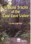
Walking Tracks Lane Cove Valley STEP
This full-colour, double-sided map shows bush tracks, cycleways and fire trails with connecting…
$20.00
-
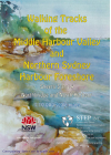
Walking Tracks Middle Harbour Valley & Northern Sydney 3&4 STEP
1:10,000 scale Middle Harbour Valley & Northern Sydney Harbour Foreshore - Northbridge &…
$20.00
-
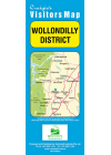
Wollondilly District Craigies
This map extends from Warragamba in the North to Yanderra in the South to Lake Burragorang in the…
$9.00
-
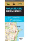
Wollongong UBD 299
This map covers Wollongong and it's surrounding suburbs and includes maps of Nowra and Berry and…
$12.00