 Enlarge
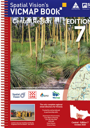
Vicmap Book Central Region Spatial Vision Out of Print ..........
$95.00
Produced using Vicmap™ - Victoria’s authoritative spatial data, and field checked by the CFA - Vicmap Books are produced specifically for the emergency services, and provide an unparalleled level of detail. Vicmap Books are ideal for camping, bushwalking, mountain biking, fishing, and car touring.
'Unlike many map books, this one has everything needed by the serious off road navigator' Robert Pepper, Trackwatch Magazine.
Ideal for 4WDriving, camping, bushwalking, mountain biking, fishing, business travel and car touring. Includes major National & State Parks - Brisbane Ranges, Bunyip, Cathedral Ranges, Dandenong Ranges, Enfield, French Island, Great Otway, Kinglake, Lerderderg, Paddys Ranges and Yarra Ranges.
North from Apollo Bay to Natte Yallock, east through Dunolly, Maldon, Castlemaine to Broadford, south to Waterford Park, east through Buxton and Marysville to Woods Point, South to Baw Baw Alpine Village and south-west through Drouin to Inverloch
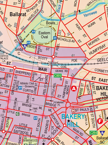
1:50,000; Township maps:1:20:000; Ballarat: 1:15,000
7th Edition