 Enlarge
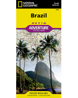
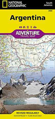
Argentina National Geographic
$27.00
This NGS map of Argentina highlights hundreds of points of interest including archaeological sites, camping areas, museums, beaches, protected areas, World Heritage sites and more. Cities and towns are clearly indicated and easy to find in the user-friendly index. A road network complete with distances and designations for highways, major routes, roads, unpaved tracks, and more will help you find your route.
The north side of the print map details the most highly populated areas of the country including the provinces of Buenos Aires, Córdoba, and Santa Fe, as well as the impressive landscape of the Cordillera de los Andes bordering Chile on the northwest. Vineyards in Mendoza, Argentina's world-renowned wine producing province are included, as are ski areas in this popular tourist region. An inset map shows the small province of Misiones that juts into the neighboring countries of Brazil and Paraguay. The south side of the map details Argentina's extensive coastline from Mar Del Plata to Tierra Del Fuego highlighting beaches, preserves, and areas noted for fishing and surfing.
Printed on durable synthetic paper, making it waterproof, tear-resistant and tough — capable of withstanding the rigors of international travel.