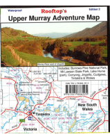
 Enlarge
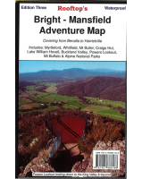
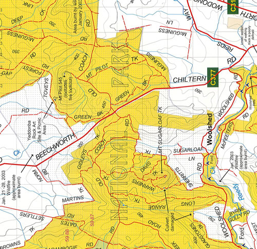

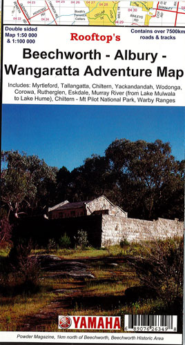
Beechworth - Albury - Wangaratta Adventure Rooftop
$13.00
Murray Valley and North East Victoria. This map covers from Rutherglen to Hume Weir and Tallangatta in the north and from Wangaratta to Myrtleford and Eskdale in the south. Beechworth is positioned approximately in the centre. Scale of the main Adventure Map is 1:100,000. The reverse side has a 1:50,000 enlargement titled 'Beechworth Forest Activities Map' giving good detail of Chiltern, Mount Pilot, Beechworth, Yackandandah and the State Forests around Stanley.
All parks, reserves and state forests are shown and more than 7500km of roads and tracks have been plotted using GPS mapping technology.