 Enlarge
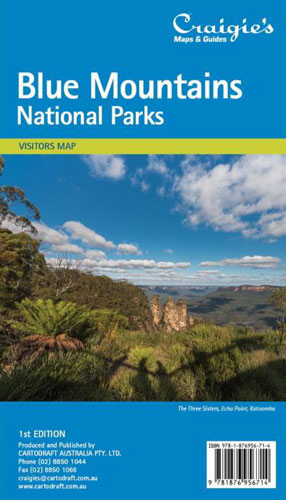
Blue Mountains National Parks Craigies
$13.00
Craigies Blue Mountains National Park Map covers the Blue Mountains, Kanangra-Boyd and Abercrombie River National Parks extending from Lidsdale in the north to Wombeyan Caves and Bargo in the south. includes road, highways, road shields, suburbs and towns. Also marked are th Wilderness, forest and water catchment boundaries along with a handy grid for the 1:25,000 NSW topographic map coverage.
The reverse side features detailed town maps of Blue Mountains townships including Blackheath, Medlow Bath, Katoomba, Leura, Wentworth Falls, Bullaburra, Hazelbrook, Woodford, Faulconbridge, Springwood, Valley Heights, Warrimoo, Blaxland, Glenbrook, Mount Riverview & Lapstone. Many fire trails and walking routes are noted.