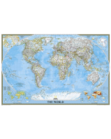
 Enlarge
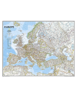
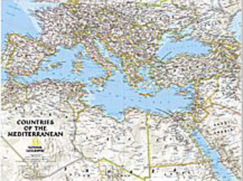
Countries of the Mediterranean NGS Laminated 77 x 60
$80.00
National Geographic's map features the countries bordering the "great inland sea" — the Mediterranean. Exquisitely detailed, this reference map contains hundreds of place-names, many shown with their commonly recognized conventional (English) names. Physical geography details include shaded relief and cartographic patterns used to depict sand, lava fields, and areas below sea level. Also included are the elevations of major peaks and ocean soundings, both expressed in meters. This map also features a detailed transportation network including highways, roads, high-speed passenger railroads, and major airports. The signature Classic style map uses a bright, easy to read color palette featuring blue oceans and stunning shaded relief that has been featured on National Geographic wall maps for over 75 years.
77cm wide x 60cm drop