 Enlarge
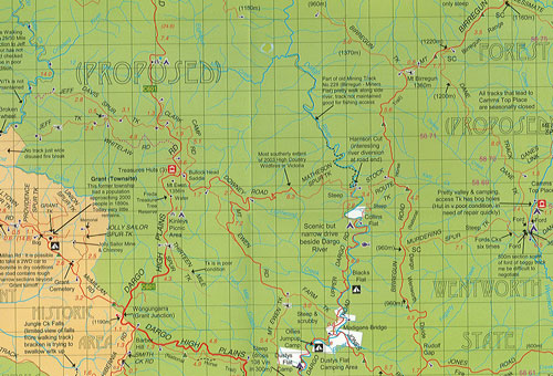

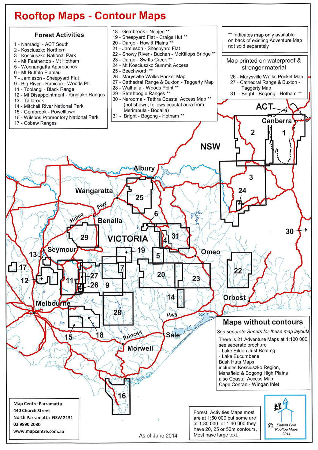
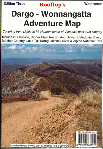
Dargo - Wonnangatta Adventure Rooftop
$13.00
Map coverage is from Licola to Mount Hotham and from Briagolong to the Buckland Valley and everything in between including access routes into Wonnangatta Station, the Crooked River goldfields, Upper Dargo goldfields and Mitchell River National Park. As well as detailed road and track information, there are lots of useful tips and warnings noted agains various tracks.
Scale is 1:100,000. The reverse side has a 1:50,000 scale enlargement titles Dargo - Howitt Plains Forest Activities Map providing more detail for Wonnangatta valley, Crooked River and the Howitt Plains near Licola. Edition 3 published 2015.
Waterproof