 Enlarge
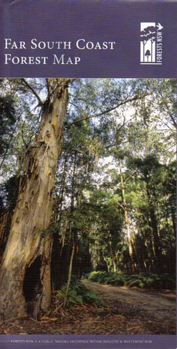
Far South Coast Nsw Forest Out of Print ..........
$12.00
The Far South Coast Forest Map covers the area from Bermagui south to Mallacoota in Vicoria and inland to Bombala.
The map shows all regularly maintained roads and trails, walking tracks, recreation areas and lookouts. The reverse side contains photographs and commentary on the history of the regions' forests and forestry in the area, and details of recreation sites, including the must-see sites and a recreation facilities matrix.
The Far South Coast Map is a great tool for mountain bike riders, four-wheel-drive enthusiasts, bushwalkers, horseriders, dog owners and anyone who wants to explore the region's extensive public forest estate.