 Enlarge
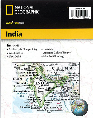
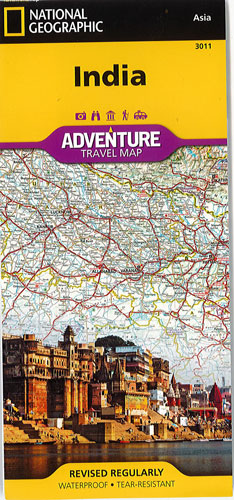
India National Geographic Adventure
$27.00
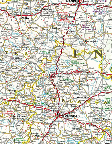
This NGS map of India is designed to meet the needs of adventure travelers with its detailed, accurate information. It includes the location of cities and towns with a user-friendly index and a clearly marked road network complete with distances and designations for roads/highways, plus secondary routes for those seeking to explore off the beaten path. Hundreds of points of interest and diverse and unique destinations are highlighted including World Heritage sites, archeological sites, Hindu and Buddhist temples, beaches and more. Important travel aids like airports, airfields, rail lines, and ferry routes are included as well.
One side of the print map covers India's southern half, from the Vindhya Range extending south to the city of Trivandrum. The map also includes the island of Sri Lanka and an inset map of the Andaman and Nicobar Islands in the Bay of Bengal. The reverse side of the map features the northern half of the country, spanning its borders with Pakistan, China, Nepal, Bhutan, Myanmar (Burma) and Bangladesh.
Printed on durable synthetic paper, making it waterproof, tear-resistant and tough — capable of withstanding the rigors of international travel.