 Enlarge
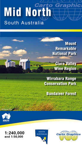
Mid North South Australia Cartographics
$10.00
This map covers from Kapunda in the south to Quorn in the north. The northern Mount Lofty Ranges and Southern Flinders Ranges. Full country road detail with long distance Heysen and Mawson trails, conservation and national parks.
On the reverse a 1:100,000 scale map of the Clare Valley detailing wineries, Reisling Trail and points of interest.
1:50,000 scale topographic maps of Mount Remarkable National Park and Bundaleer and Wirrabara Forests with 10 metre contours, UTM grid for GPS use, Walking trails, campgrounds etc.