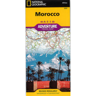
Morocco National Geographic Adventure
$28.00
This NGS map of Morocco includes the locations of thousands of cities and towns with an index for easily locating them, plus a clearly marked road network complete with distances and designations for motorways, dual carriageways, major roadways, scenic routes and more. It also includes the typical sites of interest such as World Heritage sites, national parks, mosques, churches, and archeological sites, this map includes Morocco's many casbahs, and marabouts. Beaches, yachting harbors, and areas popular for fishing and surfing dot Morocco's extensive Mediterranean and Atlantic coastlines. Other recreational destinations such as ski resorts, golf courses, spas, caves, and oases are included as well.
Morocco's northern half is shown on the front side of the print map and includes the cities of Tangier, Tetouan, Fez, Rabat, Casablanca, and Marrakesh. The reverse side of the map covers the southern portion of the country and includes a large inset map of Western Sahara.
Printed on durable synthetic paper, making it waterproof, tear-resistant and tough — capable of withstanding the rigors of international travel.


