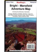
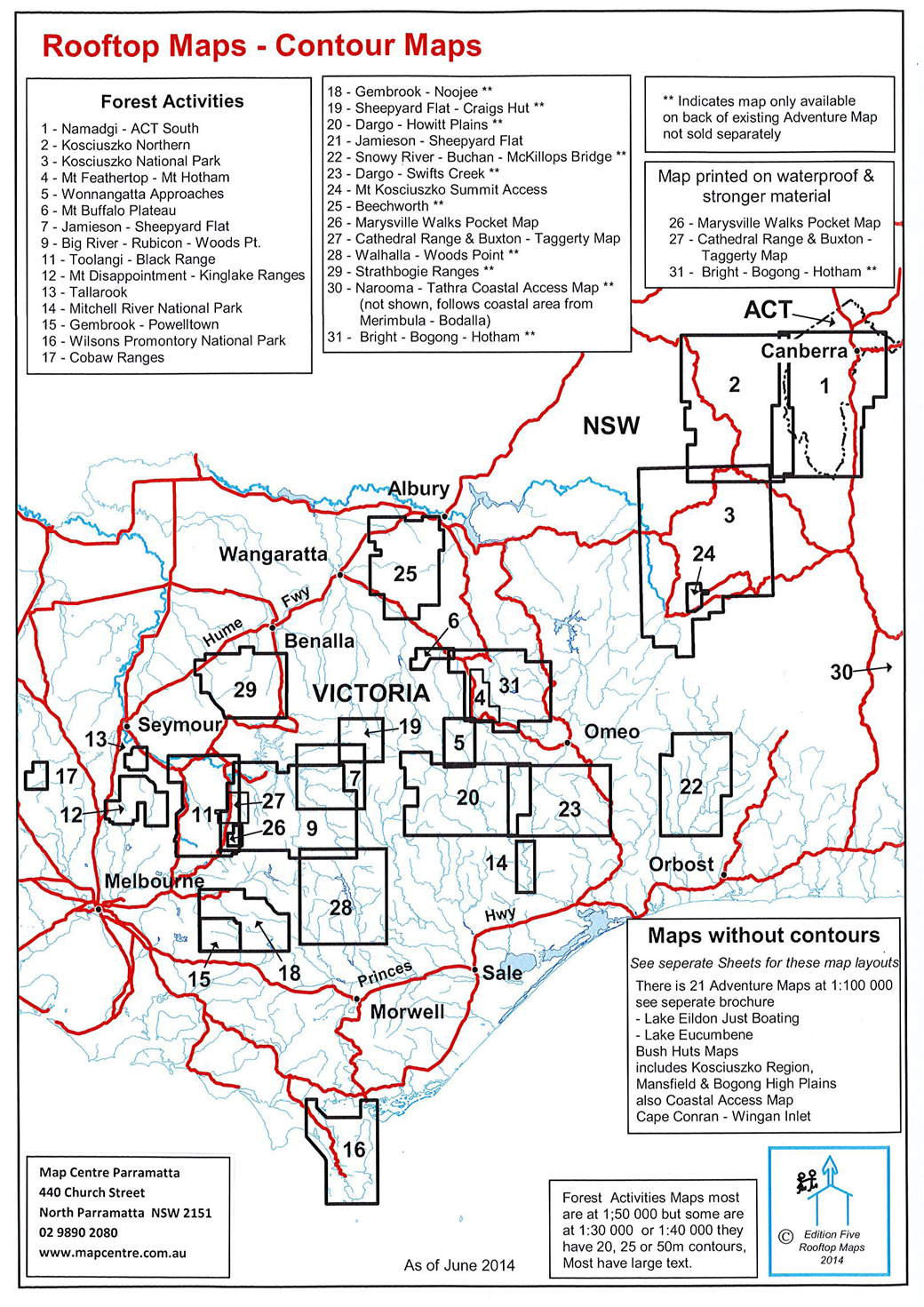
 Enlarge
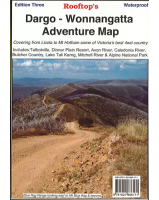
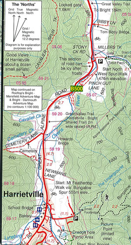

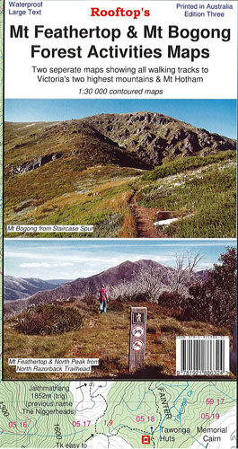
Mt Feathertop & Mt Bogong Rooftop
$15.00
This map of Mt Feathertop & Mt Bogong by Rooftop is a double side print on waterproof paper @ 1:30,00. It covers Victoria’s 2 highest mountains & Mt Hotham including the walking tracks.
Main side:
- South – Mt St Bernaud 1532m. & Mt Hotham Village.
- North – North West Spur Walk 476m. elevation & North Razorback Walk 1560m. elevation.
Reverse side:
- South – Falls Creek & Johnston Hut.
- North – Trappers Gap 1010m. elevation & Staircase Spur Walk.
- Inset – Mulhauser Spur Link Map.
- Bogong Village.