 Enlarge
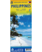
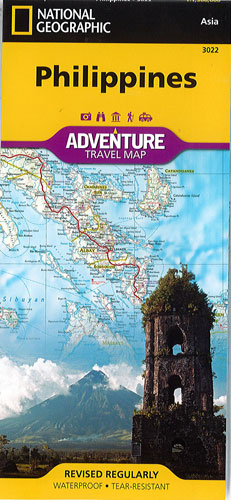
Philippines National Geographic Adventure
$25.00
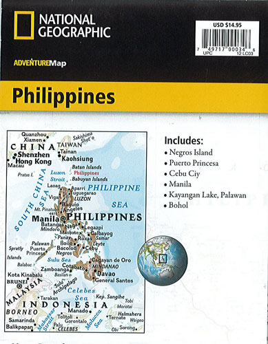
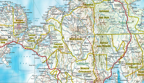
This NGS map of the Philippines details each of the three principal geographic divisions of the country Luzon, Visayas and Mindanao. One side of this map shows Luzon and includes an inset of the Batanes province. The Visayan Islands, Mindanao, and an inset of the province of Tawi-Tawi are shown on the reverse side.
Cities and towns are easy to find with the index. Highways and major roads as well as minor and secondary roads are clearly designated and include distance in kilometers. National parks and reserves, World Heritage sites, hot springs, beaches, points of interest and areas for surfing and diving are indicated so travelers can take advantage of the Philippines' many natural attractions and activities. The locations of airports, airfields, railroads and ferry routes are also shown.
Printed on durable synthetic paper, making it waterproof, tear-resistant and tough — capable of withstanding the rigors of international travel.