 Enlarge
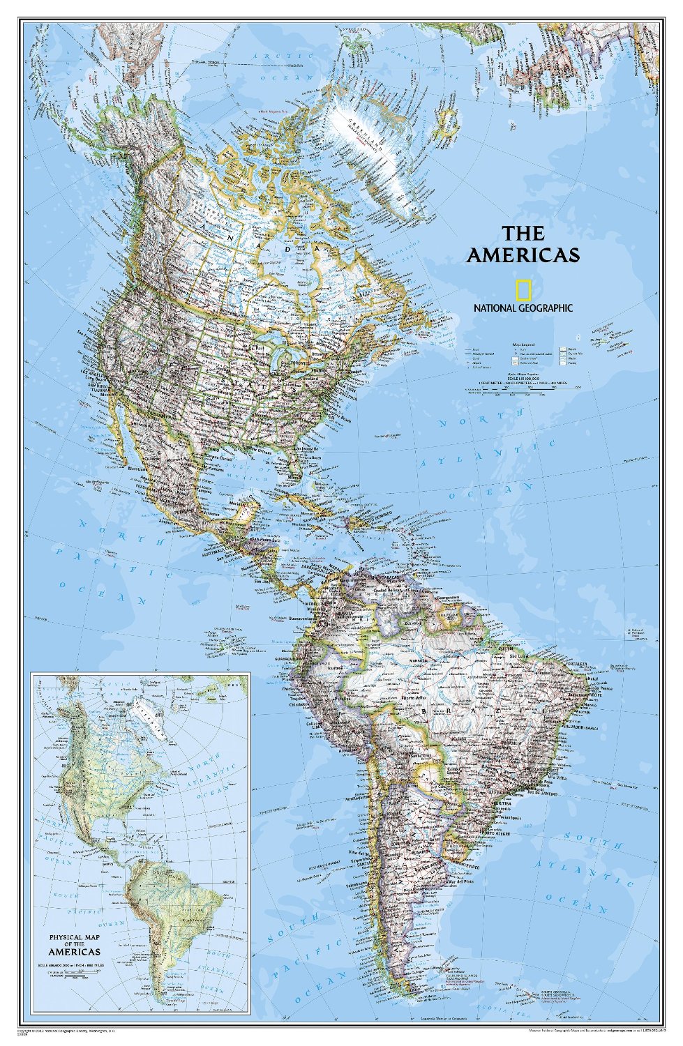
The Americas NGS Laminated 60 x 91
$80.00
National Geographic’s Classic style political wall map of The Americas features a bright color palette with blue oceans and the continents’ terrain detailed in stunning shaded relief that has been a hallmark of National Geographic wall maps for over 75 years. A physical map of The Americas is provided as an inset. This map includes thousands of place names, accurate political boundaries, archeological sites, and major infrastructure networks such as roads, canals, ferry routes, railroads, and airports. Coastal bathymetry is shown with depth curves and soundings, and symbolism for water features and other land forms provides greater detail of the nature of the geography
60cm wide x 91cm drop