 Enlarge

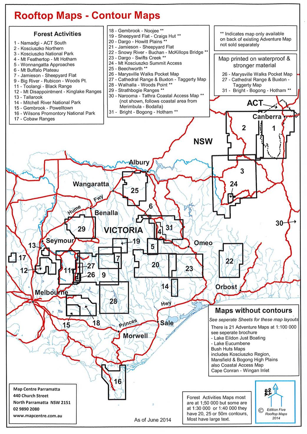
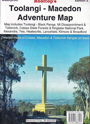
Toolangi - Macedon Adventure Rooftop
$13.00
Map coverage is from Alexandra, Narbethong and Buxton in the east to Cobaw, Lancefield, Macedon and Romsey in the west. It includes Cobaw State Forest, Tallarook State Forest, Mount Disappointment State Forest, Toolangi State Forest, Black Range, Kinglake National Park, Healesville, Murrindindi, Yea, Highlands, Seymour and much more. Scale is 1:100,000.
The reverse of the map has a 1:50,000 scale enlargement titled 'Kinglake National Park Forest Activities Map' and also 'Cobaw Ranges Forest Activities Map', both with contours.
All parks, reserves and state forests are shown and all roads and tracks have been plotted using GPS mapping technology.