 Enlarge
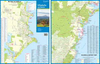
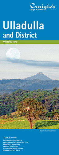
Ulladulla & District Craigies
$9.00
The Ulladulla & District Map extends from Wandandian in the North to Merry Beach in the South and covers Morton National Park in the West. Including detailed Street Maps of Burrill Lake, Kings Point, Milton, Mollymook, Narrawallee & Ulladulla.
District Map Scale 1: 110,000
Street Map Scale 1;20,000