 Enlarge
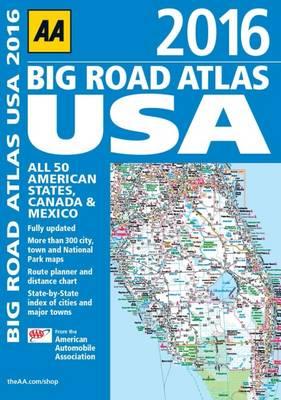
USA Canada & Mexico AA Big Road Atlas N/A
$25.00
Revised for 2016, this comprehensive atlas covering all 50 american states, Canada and Mexico is the essential reference for all motorists visiting the USA. Mapping has been produced by the American Automobile Association and covers 50 states, plus Canada and Mexico. There is a large format and clear page design throughout. Key features include a mileage chart and map showing area codes and time zones, and a United States Driving Chart showing the most direct routes to locations. Thousands of campsites are located on the mapping, with detailed tourist information throughout.