 Enlarge
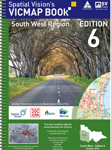
Vicmap Book South West Region Spatial Vision
$115.00
Produced using Vicmap™ - Victoria’s authoritative spatial data, and field checked by the CFA - Vicmap Books are produced specifically for the emergency services, and provide an unparalleled level of detail. Vicmap Books are ideal for camping, bushwalking, mountain biking, fishing, and car touring.
Ideal for 4WDriving, camping, bushwalking, mountain biking, fishing, business travel and car touring. Includes major National & State Parks - Great Otway, Port Campbell, Grampians, Kooyoora, Little Dessert, Wyperfeld, Cobboboonee, Mount Eccles, St Arnaud, Dergholm, Cape Nelson, Lower Glenelg, Mount Arapiles – Tooan, Paddys Ranges, Mount Buangor, Enfield, Black Range, Mount Napier, Langi Ghiran, Mount Richmond. This edition extends at least 20kms into South Australia.
South west from the South Australian border to Mount Gambier, Warrnambool, Apollo Bay, Halls Gap, St Arnaud, Dimboola & Bordertown
1:100,000 Selected areas: 1:50,000 Township maps: 1:20,000
6th Edition