New South Wales Topographic Maps - SIX LPI CMA
 2022 Ed.
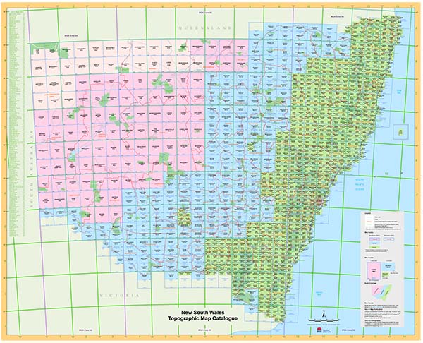
Click on image to open in a new tab then zoom in to your area
Do you love the outdoors and need pointers as to the physical features of a territory to plan your next hiking trip?
NSW topographic maps offer the detail for multiple uses. Their graphic representations include lakes and rivers, and the contours for the reliefs of mountains and valleys showing the differences in heights of the terrain ahead.
Find your own way off-road with these maps.
NSW Topographic Maps
Do you love the outdoors and need pointers as to the physical features of a territory to plan your next hiking trip? We offer detailed NSW topographic maps for multiple uses.
Topographic Maps of NSW
Our detailed graphic representations include constructed features such as buildings, roads, railways, and borders. Hydrographical illustrations include lakes and rivers, while reliefs of mountains and valleys show the differences in height from place to place on the Earth’s surface.
My Map Shop: Your One-Stop Map Shop
Besides internally printed topographic maps, we offer various Geochron wall clocks, Silva compasses, VMS GPSs, and NSW topographic and international maps and atlases. Get your new navigation tool from us and explore the geographical wonders of NSW.