 Enlarge
ACT Region 1:100,000 GeoSciences
$15.00
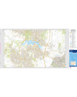
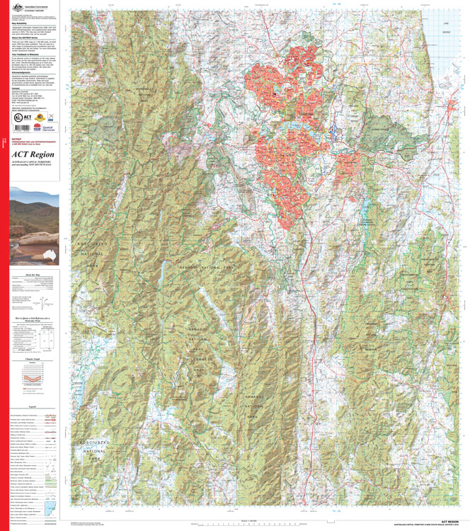
The map covers an area of about 76 kilometres from east to west and about 96 kilometres from north to south. At this scale 1:100,000 1cm on the map represents 1km on the ground. This map contains natural and constructed features including road and rail infrastructure, vegetation, hydrography, contours, localities and administrative boundaries, such as national parks, and nature reserves. The reverse side of the map depicts the same area using an orthophoto mosaic.
Printed in House - request a flat copy if preferred
Click on 'Options' to choose a different finish