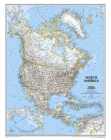
 Enlarge
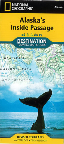
Alaska's Inside Passage National Geographic
$28.00
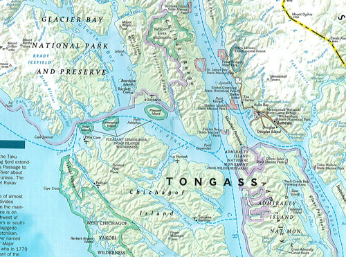
The Inside Passage is a meandering waterway formed by a myriad of islands that lie between the North Pacific Ocean and the quieter waters along the coast. At its heart is the Tongass National Forest, the largest national forest in the United States.
The front side of Alaska’s Inside Passage reveals a striking map of the region from the northern reaches of Glacier Bay National Park and Preserve south to Prince of Wales Island. Information about the islands and other land features, wildlife viewing and safety, the weather, the tides and more is included.
The reverse side of the map provides invaluable content for travelers with extensive descriptions of points of interest and information about tours, outfitters, visitor associations, lodging, the geology of the region, and local indiginous cultures. A National Parks chart includes services offered and contact information for each park, and an additional map of the entire state of Alaska provides context for the region.
Every Destination Map is printed on durable synthetic paper, making them waterproof, tear-resistant and tough — capable of withstanding the rigors of any kind of travel.