 Enlarge
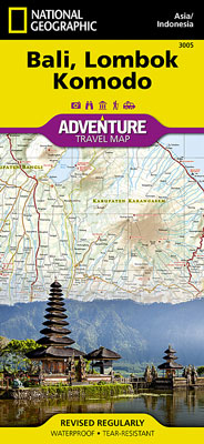
Bali Lombok & Komodo National Geographic Adventure
$27.00
This NGS map of Bali Lombok & Komodo includes the locations of thousands of towns and villages and contains a clearly marked road network complete with distances and designations for expressways, major routes as well as secondary roadways. Rough tracks and paths are included for adventurers seeking to explore more remote regions. Hundreds of points of interest are highlighted such as World Heritage sites, tourist information centers, national parks, golf courses, botanical gardens, religious sites, beaches and a variety of sites for surfing, diving and fishing.
One side of the print map shows the islands of Lombok and Komodo while Bali and Nusa Penida are detailed on the reverse side. A small inset of the Lesser Sunda Islands shows the location of Bali, Lombok and Komodo in the island chain. The locations of airports, airfields, harbors, anchorages, ferry routes, and traditional boat routes make it easy for you to plan your route.
Printed on durable synthetic paper, making it waterproof, tear-resistant and tough — capable of withstanding the rigors of international travel.