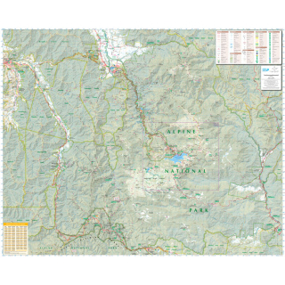
Bogong Alpine Area 1:50k Spatial Vision
$20.00
Bogong Outdoor recreation guide provides detailed maps for walking, overnight hiking, walking tracks, major activities, car touring as well as flora and fauna. The guide also contains information about the many walks (difficulty, distance, time and elevation, and cross sections), major activities and local contact information.
Information on other activities such as mountain biking, alpine skiing, horse riding, car touring, four-wheel-driving and fishing. Campground and Lookout locations, and GPS references Emergency marker locations, with index provided 1:25,000 map inset of Falls Creek and surrounds.
Printed In House Request a flat copy if preferred
Click on 'Options' for another finish ..............


