 Enlarge
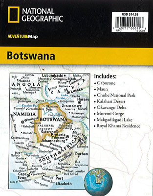
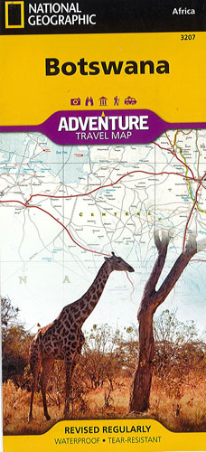
Botswana Adventure National Geographic
$30.00
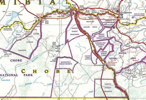
This NGS map of Botswana covers the country with unparalleled detail along with bordering areas of Namibia, Zambia, Zimbabwe and South Africa. A user-friendly index of towns and protected areas, along with a clearly marked road network, complete with road designations and distances, will guide you to your destination. Tracks and smaller roads are also marked for those wishing to find hidden gems or travel off the beaten path. Other transportation network features are airports, airfields, rail lines and frontier crossings.
Hundreds of cultural, historical, ecological and recreational points of interest are pinpointed, such as UNESCO World Heritage Sites, national parks and reserves, historic ruins, churches, monuments, caves, campsites, scenic viewpoints and areas of swamps, forest cover and salt pans. One side of the map includes Chobe and Nxai-Pan National Parks, Caprivi Strip, Victoria Falls, Moremi and Central Kalahari Game Reserve, Okavango Delta, Tsodilo Hills and Makgadikgadi Pans. The reverse side covers the Central Kalahari and Khutse Game Reserves, Kgalagadi Transfrontier Park, Khama Rhino Sanctuary, Gemsbok National Park and the capital city, Gaborone.
Printed on durable synthetic paper, making it waterproof, tear-resistant and tough — capable of withstanding the rigors of international travel.