 Enlarge
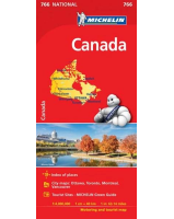
Canada Itmb
$18.00
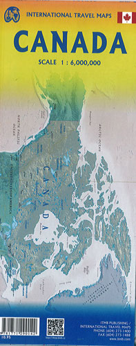
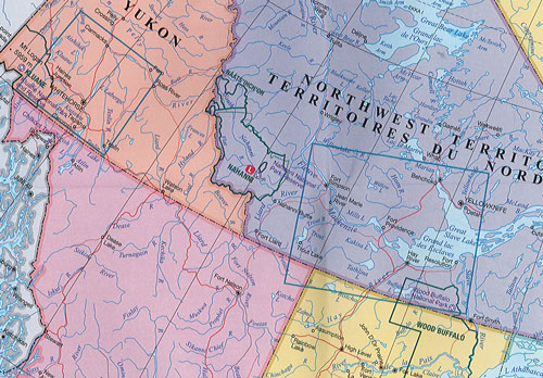
Canada @ 1:6,000,000 with detailed insets is a political map of the country on one side with each province or territory designated by a different colour and the road and rail network portrayed. Please keep in mind that Nunavut is four times larger than Europe, and that at least three provinces are each larger than all of Europe put together, and the vastness of Canada starts to sink in. Open this side and imagine spending six days and seven nights on a train just going from Toronto to Vancouver. This is a very accurate map, prepared by the Canada Map Office, and is in English and French. The other side of the map consists of 10 large inset maps - Rocky Mountains and Yukon with expanded coverage, as does Newfoundland, the Toronto region, southern Saskatchewan and Manitoba and the Ottawa to Montreal to Quebec City portion of central Canada. The entire country on one side and the most important segments for tourism on the other side. The map is printed on a very durable paper.