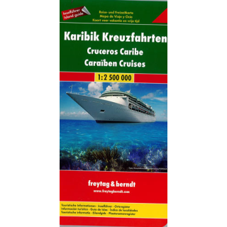
Caribbean Cruises Freytag & Berndt
$22.00
This Caribbean Cruises Map by Freytag & Berndt @ 1:2,500,000 shows on one side the whole region and on the reverse side the individual countries or islands on separate maps accompanied by descriptions and general information.
This whole region of the Caribbean on one side, from Florida to the coast of South America, has the index and information panels for Florida, Jamaica, Puerto Rico Haiti and the Dominican Republic.
On the reverse are individual maps at various scales and information panels with descriptions of main places on interest for: Anguilla, Antigua and Barbuda, Aruba, Bahamas, Barbados, Bonaire, Cayman Islands, Curaçao, Dominica, Grenada, Guadeloupe, Martinique, Montserrat, St Kitts and Nevis, St. Lucia, St. Martin/Maarten with St Barthélemy, St. Vincent and the Grenadines, Trinidad and Tobago, Turks and Caicos Islands, British and US Virgin Islands plus San Andrés in Colombia and Isla de Margarita in Venezuela.
Multilingual map legend includes English. The text in the information panels is in English and German.


