 Enlarge
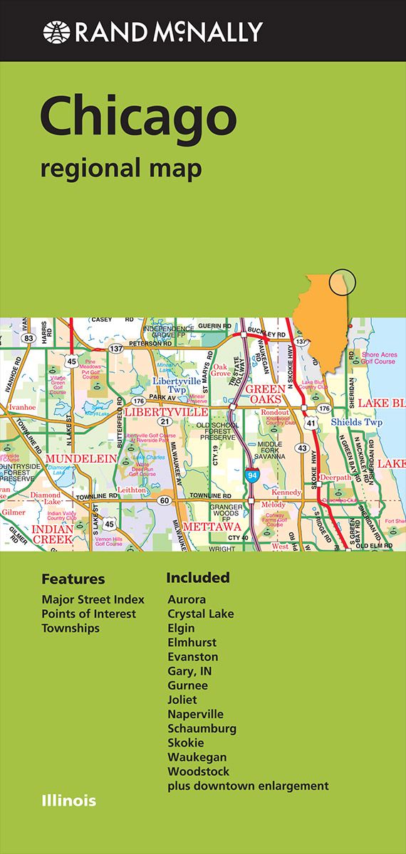
Chicago Regional Rand McNally
$15.00
Chicago Regional map is for anyone traveling in and around this part of Illinois offering unbeatable accuracy and reliability at a great price. Trusted cartography shows all Interstate, U.S., state, and county highways, along with clearly indicated parks, points of interest, airports, county boundaries, and streets. The easy-to-use legend and detailed index make for quick and easy location of destinations. I has clearly labeled Interstate, U.S., state, and county highways, parks, points of interest, airports, county boundaries, downtown & vicinity maps, major attractions & golf courses. Also with an asy-to-use legend, detailed index & major street index in a convenient folded size