 Enlarge
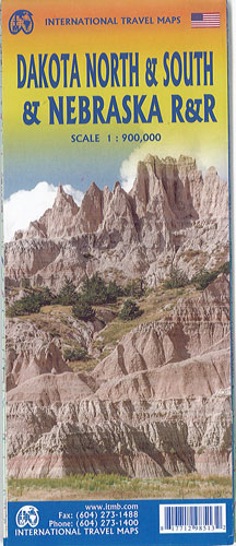
Dakota North & South & Nebraska Road/Rail Itmb
$18.00
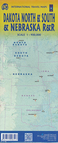
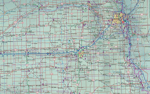
This map by ITMB covers all of North Dakota, South Dakota and, on the reverse side, Nebraska. A portion of neighbouring Minnesota is included. Although the focus of the map is on its road network the Amtrak rail network that passes through Bismarck, ND and Omaha further south is emphasized. This is prairie country at its best, stretching from the border with Canada’s Manitoba south all the way to Kansas City and from Montana east to well into Minnesota. This portion of the USA is legendary for its role in settling the west, with evocative names such as Topeka, Rapid City, Fargo and historic Pierre. All motorways and highways are shown, as well as hundreds of secondary roads that connect all the smaller towns within the region. Of particular interest to visitors, Badlands National Park with its herd of bison and the Enchanted Highway are favourites but nothing beats South Dakota’s Mount Rushmore as an attraction!