 Enlarge
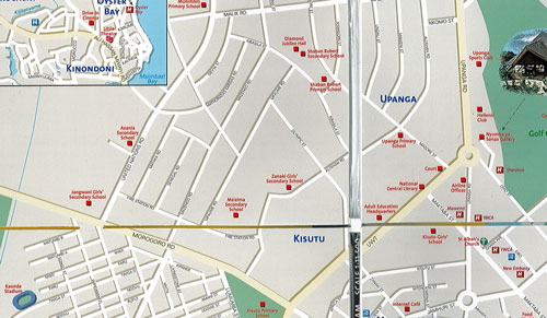
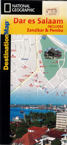
Dar es Salaam National Geographic
$15.00
Sale $10.00
This NGS map of Dar es Salaam provides valuable information to those seeking to explore the region with its extensive index and listed areas. It includes inset maps of Msasani Bay Area, regional map, Pemba Island, Chake Chake, Zanzibar Island and Stone Town. The legend pinpoints post offices, police, hospitals, points of interests, hotels, churches, mosques, railway lines, notable buildings, rail stations, parks, markets and monuments, helping you navigate the region.
Depicted in the scale 1:11,500.
Printed on durable synthetic paper, making it waterproof, tear-resistant and tough — capable of withstanding the rigors of international travel.