 Enlarge
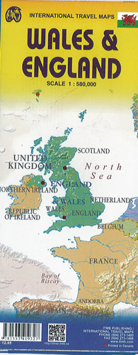
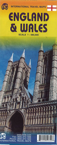
England & Wales Itmb
$20.00
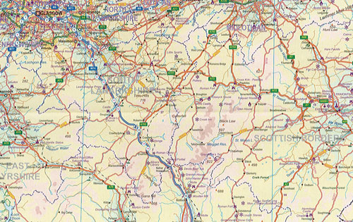
This is a map of both England and Wales, showing the entire 'country' in a double-sided format. This map is showing motorways, divided carriageways, A & B highways, railway lines, airports, historic sites and touristic attractions, parks and gardens and just about everything that could fit on to the page to provide users with a detailed, usable map.
Side A - all of southern England/Wales as far north as Chester/Lincoln and with a little overlap, from those cities north to well over the Scottish border
Side B - up to Perth/Dundee fills this side. The isle of Man and much of Northern Ireland are included as well as a bonus, with an inset map showing the Channel Islands and another in set showing central London. This is an excellent map for touring all of England/Wales.