 Enlarge
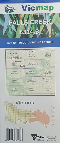
Falls Creek 8324-S 1:50,000 Vicmap
$14.00
This Vicmap topographic map covers from Freeburgh in the north west, across to Mount Wills, south west to Hotham Heights & south east to Anglers Rest. It includes Harrietville, Bogong and with Falls Creek in the centre.