 Enlarge
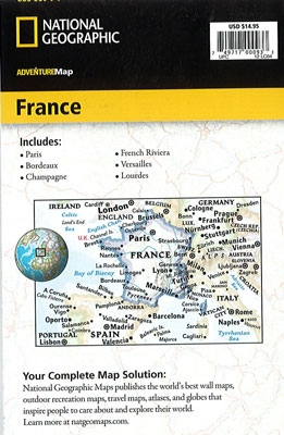
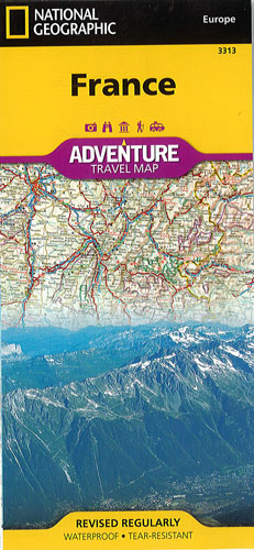
France National Geographic Adventure
$28.00
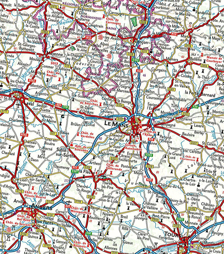
This NGS map of France @ 1:100,000 shows some of the world's most renowned museums, the French Riviera and Alps, picturesque rural areas and the iconic Eiffel Tower. Find your destination in the user-friendly city and town index, then navigate the country by the mapped road network showing motorways, highways and others roadways, labeled with distance markers. Other transportation aids include airports, airfields, railroads, border crossing and ferry routes, including the multiple routes across the English Channel and Mediterranean Sea.
Hundreds of pinpointed diverse and unique recreational, ecological, cultural, and historic destinations, make this expertly researched map the perfect complement to National Geographic's France Traveler's Guide or any other guidebook to the area. Some of the specialized content includes archeological sites, churches, monasteries, castles and castle ruins and tens of World Heritage Sites that are scattered throughout the country. The map covers France in its entirety, the Channel Islands and southern U.K., the city of Monaco and parts of the bordering countries of Spain, Italy, Switzerland, Germany, Luxembourg and Belgium. The island of Corsica is covered by an inset map.
Printed on durable synthetic paper, making it waterproof, tear-resistant and tough — capable of withstanding the rigors of international travel.