 Enlarge
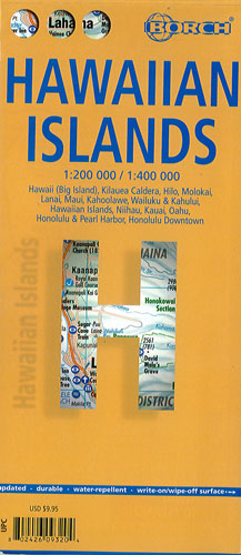
Hawaiian Islands Borch
$22.00
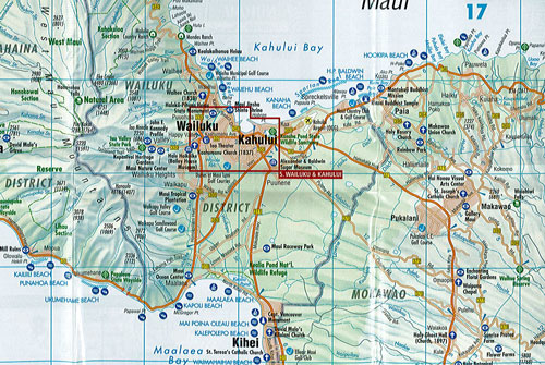
This laminated map of the Hawaiian Islands by Borch combines road maps of the individual islands and street plans of main towns. This map covers topography and points of interest in detail. One side is Hawaii itself (the Big Island) depicting the Kilauea Caldera in greater detail along with a street plan of downtown Hilo. In addition, a separate panel at presents Maui with Lanai and Molokai with a street plan of the Wailuku - Kahaului area on Maui. The reverse side has a large street plan of the Honolulu - Pearl Harbor area, plus an enlargement showing downtown Honolulu in greater detail. Also included here are maps of Kauai and Niihau.
The map is easy to fold, durable and water-repellent with a wipeable surface.