 Enlarge
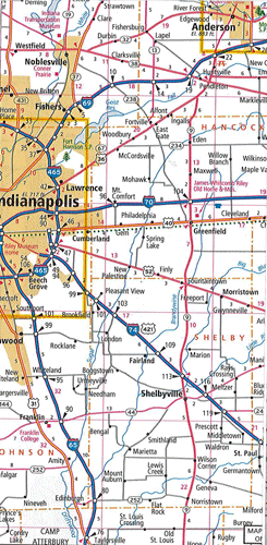
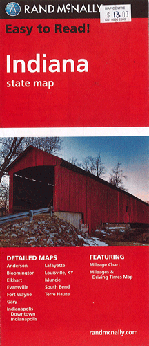
Indiana Rand McNally
$16.00
This map of Indiana by Rand McNally depicts Interstate, U.S. state and county highways along with points of interest. The detailed index, legend, distance chart and driving times map will help you to reach your destination with ease. In addition, maps of Anderson, Bloomington, Elkhart, Evansville, Fort Wayne, Gary, Indianapolis, Downtown Indianapolis, Lafayette, Louisville, Muncie, South Bend and Terre Haute are also featured.