 Enlarge
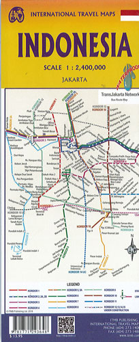
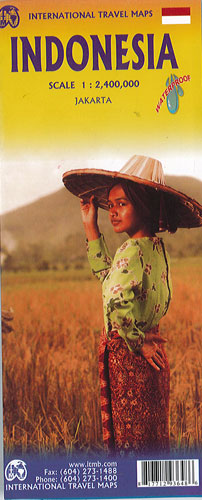
Indonesia Itmb
$20.00
The hundreds of islands making up the island nation of Indonesia make a double-sided map inevitable in order to show any significant amount of detail. Side 1 shows the western half, starting with Sumatra in the upper left and including Java and most of the island of Borneo (Kalimantan Province to the Indonesians). This side also includes a large inset map of central Jakarta, Sumatra, Java, and Borneo. Bali, Lombok, and Sumbawa islands are in the lower right portion of the map, and most of Malaysia and all of Singapore are included. The infamous volcanic island of Krakatoa is located just to the west of Java.
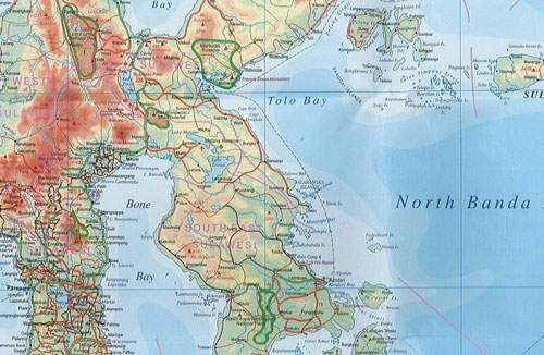
The other side of the map covers the less-travelled and therefore more interesting eastern islands – Sulawesi, Flores, New Guinea (West Irian Province), and Timor are the best known. Komodo National Park, home of the fierce lizards called Komodo Dragons, is on the map. Ferry routes between the islands are shown and are quite reliable, but sailings are subject to weather conditions. Indonesia is a very large country, and this map shows it in good detail. However, it is also a country that covers a very large area.