 Enlarge
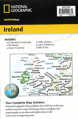
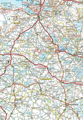
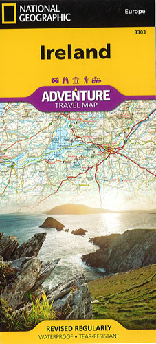
Ireland National Geographic Adventure
$25.00
This NGS map of Ireland is designed to meet the needs of adventure travelers with its detailed and accurate information. This map includes the location of cities and towns with a user-friendly index and a clearly marked road network complete with distances and designations for roads/highways as well as plus secondary routes for those seeking to explore off the beaten path.
It covers the entire island including the Republic of Ireland and British-ruled Northern Ireland in one easy-to-use map. The north side of the map details from the northernmost tip of the island at Malin Head south to Dublin and Galway, including Belfast, Dundalk, Londonderry and Sligo. The south side overlaps the northern side of the map at Galway on the west and Dublin on east, covering the remainder of the country including the cities of Limerick, Tralee, Cork and Waterford.
Printed on durable synthetic paper, making it waterproof, tear-resistant and tough — capable of withstanding the rigors of international travel.