 Enlarge
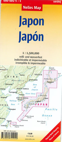
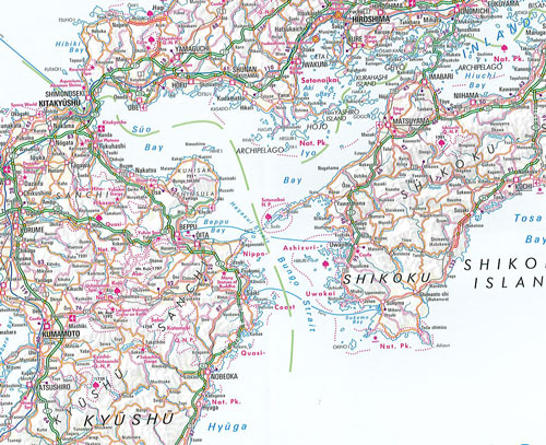
Japan Nelles
$22.00
This map of Japan by Nelles @ 1:1,500,000 is double-sided, waterproof and tear-resistant. Enlargements show in greater detail the environs of Tokyo - Yokohama, Osaka - Kobe, and Nagoya.
The map divides the country north/south with Tokyo shown on both sides. On one side two panels cover the northern part of Honshu and Hokkaido, with an enlargement for the environs of the Tokyo -Yokohama area. On the reverse is southern part of Honshu and Kyushu Island, plus separate panels showing the smaller groups of islands including Okinawa and the Sakishima Archipelago. Insets show the environs of Osaka and Nagoya in greater detail.
Topography is shown by relief shading with spot heights and names of mountain ranges. The map presents the country’s road and rail networks with a separate list of expressways on each side. Local airports and ferry connections are also marked. Overprint highlights various places of interest. The legend includes English.