 Enlarge
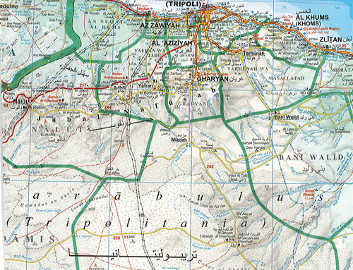
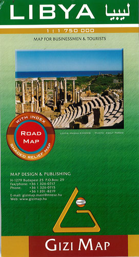
Libya Gizi
$25.00
This map of Libya @ 1:1,750,000 by Gizi Map has exceptionally fine and detailed presentation of its physical geography, oil and gas wells and pipelines, water aqueducts, ancient sites and other places of interest, etc. Names of larger towns and selected smaller locations, as well as of many topographic features are also shown in Arabic.
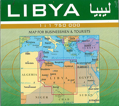
The map provides a very fine presentation of the country’s geography through relief shading and graphics for sandy or stone deserts, swamps, salt flats, oasis, and water wells, plus numerous spot heights and plenty of names of mountain ranges, wadis, etc. Road network shows desert tracks and gives distances on main routes. Railway lines are included and domestic airports/aerodromes are marked. The map also shows oil or gas wells and pipelines, water aqueducts and boundaries of administrative provinces. Symbols indicate locations with campsites or youth hostels, various places of interest including archaeological sites and natural curiosities, etc. Also provided is a distance table. The index is next to the map and the legend includes English and Arabic.