 Enlarge
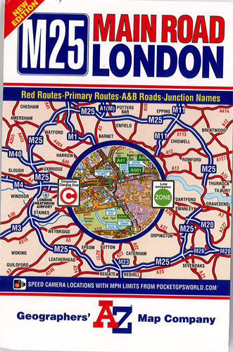
London M25 Main Road AZ
$25.00
This London M25 road map by AZ shows the area within and adjoining to London’s orbital motorway, the M25, @ 1:64,221 (approx. 1” to 1 mile) on a map designed to highlight primary routes and destinations, A and B roads, the capital’s Congestion Charge and Low Emission zones, plus to indicate Red Routes - major roads on which vehicles are not permitted to stop; the prohibition extends to stopping for loading or unloading and to boarding or alighting from a vehicle (except for licensed taxis and the holders of blue badges).
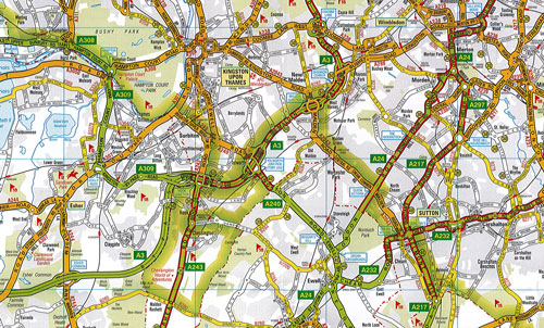
The map indicates full or limited interchanges and shows junction names and locations of single, multiple and variable speed cameras. Where appropriate, the direction of traffic flow is also marked. Railways and Underground lines outside central London are shown with station names. Locations including airports, sport venues, etc, are highlighted. The index is on the reverse and includes selected places of interest, stations, junction names, etc.