 Enlarge
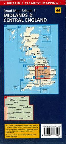
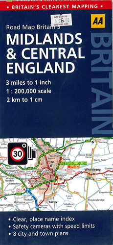
Midlands & Central England AA 5
$18.00
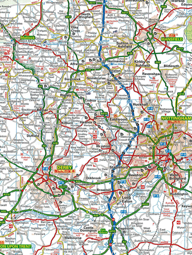
This AA road map of Midlands & Central England combines clear indexing and detailed mapping with an easy-to-read scale of 3 miles to 1 inch. It highlights toll points, service areas, safety cameras with speed limits, road numbers, motorways, dual carriageways and wide/narrow local roads. Points of interest such as parks are also noted. 8 city and town plans are provided as well.