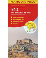
 Enlarge
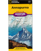
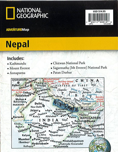
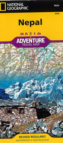
Nepal National Geographic Adventure
$25.00
This NGS map of Nepal includes the locations of thousands of cities and towns with an index for easily locating them, plus a clearly marked road network complete with distances and designations for highways, major roadways, secondary roads, scenic routes and more. Classic trekking routes, main trails, and local trails are marked as well as areas for river rafting/kayaking and mountain biking. Hundreds of points of interest and diverse and unique destinations are highlighted including World Heritage sites, archeological sites, temples, monasteries, campsites and more.
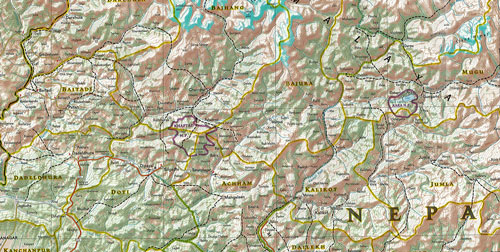
One side of the print map offers a detailed topographic and trekking map of central and eastern Nepal, including border regions with China and India. Mountaineers will stay on course with marked trails through the Himalayan Range, including Everest (the tallest mountain in the world) and the surrounding national parks and wildlife reserves. An inset of the Himalayas has been annotated to show elevation. The backside includes the western portion of Nepal, from the city of Mahendranagar in the west, to the Shey-Phoksundo National Park and Dhorpatan Hunting Reserve in the east. A detailed inset of Kathmandu and Patan City provide valuable locations of goods and services for casual tourists and seasoned trekkers alike.
Printed on durable synthetic paper, making it waterproof, tear-resistant and tough — capable of withstanding the rigors of international travel.