 Enlarge
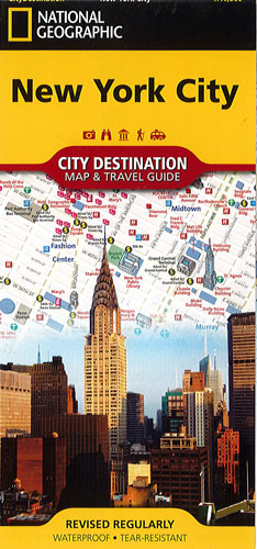
New York City National Geographic
$20.00
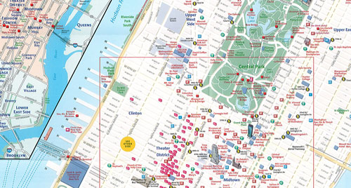
This NGS map of New York City contains a comprehensive road map and an informative travel guide. The easy-to-read street map covers Manhattan from Uptown to the Financial District and includes the many bridges and tunnels that cross the Hudson and East Rivers. Hundreds of points of interest are highlighted, including hotels, theaters, notable buildings, churches, synagogues, parks, police stations, hospitals and subway stations with 3D depictions for many top attractions, like the Empire State Building and Metropolitan Museum of Art.
Insert maps of Midtown and Lower Manhattan provide extra detail of these heavily traveled areas. An additional regional insert map shows all five boroughs of New York City and parts of New Jersey. A complete subway map, diagrams of LaGuardia, JFK and Newark Airports, ferry routes and a user friendly index streets, tunnels and bridges; neighborhoods, districts and boroughs; parks; theaters; and other points of interest, will help you plan your route and find your destination. Descriptions of the city, popular attractions and the transit system provide valuable information for visitors.
Printed on durable synthetic paper, making it waterproof, tear-resistant and tough — capable of withstanding the rigors of international travel.