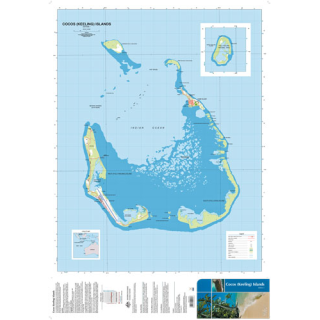
Norfolk Island 1:25,000
$15.00
Norfolk Island is an integral part of the Commonwealth of Australia and has been since 1914 when it was accepted as an external self governing Australian Territory. The Administrator provides a range of services to Norfolk Island residents and visitors on behalf of various Australian Federal Departments and agencies. The government is independent of Australia in most respects except for policing, defence and education. Norfolk Island is located in the South Pacific approximately 1,700km north-east of Sydney, 900km north-east of Lord Howe Island and 1,200km north-west of Auckland. It is about 8km long and 5km wide with an area of 3,455 hectares. Two uninhabited islands are located off the southern coastline, Nepean Island - a small islet of coral and sandstone about a kilometre off-shore provides a haven for thousands of seabirds and Phillip Island - a volcanic mass rising to 300m, located 6km south of Point Hunter.
The Island has a unique geography with 32km of coastline of mostly inaccessible cliffs, only sloping down to the sea at Sydney and Emily Bays. There is a small population of approximately 1900 people with the total reaching up to 3500 in peak tourist season. The area surrounding Mt Pitt is preserved as the Norfolk Island National Park. The park, covering around 10% of the land of the island, contains remnants of the forests which originally covered the island, including stands of subtropical rainforest. The park also includes the two smaller islands of Nepean and Phillip Islands.
Norfolk Island experiences a sub-tropical climate where the average annual rainfall is 1328mm. Apart from occasional storms most rain falls at night. The temperatures are mild, ranging from24° to 28°C in Summer and 19° to 21°C inWinter.
Waterproof paper

