Enlarge
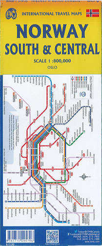
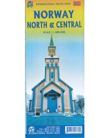
Norway South & Central ITMB
$22.00
This map of Norway South & Central by ITMB @ 1:800,000 is double sided.
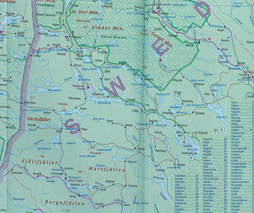
Side 1 starts in Narvik and travels south through Bodo to south of Trondheim showing all the roads and emphasizing the excellent rail connections. A little portion of neighbouring Sweden is shown as well. Side 2 concentrates on the southerly ‘bulge’ of Norway south to the country’s border with Sweden and west to the North Atlantic.
A large inset map of Oslo, the capital, is included, as well as a list of Top attractions. Both road and rail connections are shown some tunnels of which there are many. Touristic sites are included as well as a selection of camping sites. Longer distance hiking trails/cross-country ski routes are also included. The famous coastal routes of Norwegian ferries is also included, which is an excellent way to view the coastline between Stavanger and Bergen.