 Enlarge

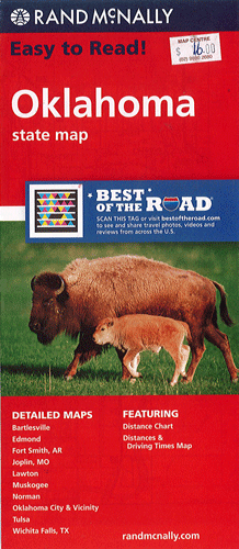
Oklahoma Rand McNally
$16.00
This Rand McNally map of Oklahoma depicts all Interstate, U.S. state and county highways along with various points of interest. Its detailed index, legend and mileage chart and driving times map will help users to reach their destination with ease. Also included is a helpful on-the-road toolbox, a state park chart, state facts and useful climate data. This map contains detailed maps of Bartlesville, Edmond, Fort Smith, Joplin, Lawton, Muskogee, Norman, Oklahoma City & Vicinity, Tulsa and Wichita Falls.