 Enlarge
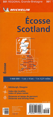
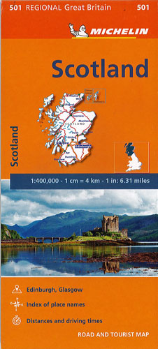
Scotland Michelin 501
$25.00
This map of Scotland @ 1:400,000 is an indexed touring map by Michelin and is particularly good for indentifying scenic routes. The whole country is shown on one side of the map, with coverage extending south to include Newcastle and most of the Lake District. Enlargements show the Glasgow area (1:200,000) and main roads across Edinburgh (1:100,000). It also shows locations with street plans in Michelin’s Red Guide to Hotels and Restaurants in Britain and in their Green Guide to Scotland.
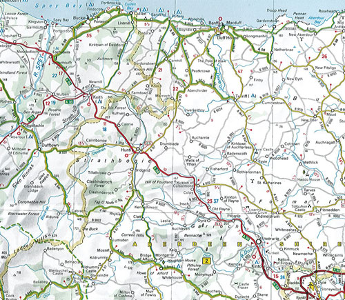
Topography of Scotland is very effectively indicated by relief shading with names of mountain ranges, valleys, peaks, etc, plus spot heights and colouring of forests and other wooded areas. Boundaries of national parks are marked. Special features provided in the presentation of road network include highlighting of scenic roads, more detailed gradient markings than found on most similar maps, height restrictions for bridges, load limits and driving distances on main roads given in both miles and kilometres. Within Scotland narrow roads with passing places are indicated. Railway lines and ferry routes are included. The index plus a distance/driving times table are next to the map.