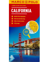
 Enlarge
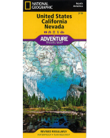
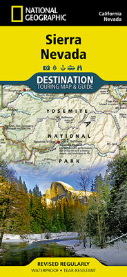
Sierra Nevada National Geographic
$27.00
NGS' Sierra Nevada map is ideal resource for touring the rugged landscape of this culturally and geographically unique region of California and Nevada. One side of the print map reveals a detailed map of the region stretching from the Oregon border to California's Eldorado National Forest, bordered by the Sacramento Valley to the west and Nevada's Great Basin to the east. Modoc, Shasta-Trinity, Lassen, Plumas, and Humbolt-Toiyabe National Forests are also included on the map. The map features a comprehensive road network including scenic byways as well as areas of interest such as Indian Reservations, National Parks and Monuments and Recreation Areas. Trails, historic sites, museums, cultural centers, scenic areas, state parks and other points of interest are also pinpointed. In addition, the map features beautiful photographs and information on the region's culture, heritage and outdoor adventures.
The reverse side of the map features a detailed map of the area stretching from California's Eldorado National Forest to Sequoia National Forest. Other areas of interest included on the map are Stanislaus, Humbolt-Toiyabe, Sequoia, Sierra and Inyo National Forests, Yosemite National Park and Wilderness, John Muir Wilderness, Kings Canyon National Park and Sequoia National Park. In addition, the map includes a chart of the region's National Parks and Monuments as well as travel tips, photographs and information on the natural beauty of the region and its changing landscapes.
Printed on durable synthetic paper, making it waterproof, tear-resistant and tough — capable of withstanding the rigors of international travel.