South Atlantic States USA ITMB
$12.00
$10.00
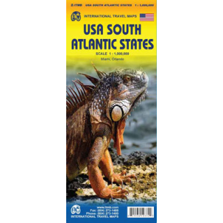
This map of the South Atlantic States USA by ITMB covers Florida's Caribbean coastline as well as Pennsylvania and West Virginia. One side covers Philadelphia/Pittsburgh south to Augusta and Charleston while the reverse continues south to the southernmost portion of Florida and west to Panama City. Inset maps of Orlando and Miami are also featured on this side. This map highlights road and rail connections as well as distances between communities. Places of interest are noted and complimented by the extensive name place index.
This map is depicted in the scale pf 1:1,000,000.


