 Enlarge
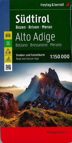
South Tyrol - Bolzano Brixen Merano (Dolomites) Freytag & Berndt
$25.00
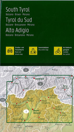
Italian region of South Tyrol, with coverage extending across the Austrian border to Innsbruck, at a detailed scale of 1:150,000. A booklet attached to the map cover provides descriptions of the region’s 10 best sights, street plans of Bolzano, Merano and in Austria Lienz, plus the map index. Many place names are in large print to make navigating easy. Coverage includes the Dolomites.
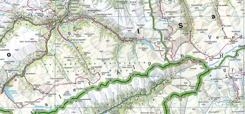
Topography is well presented by subtle hill-shading with spot heights, plus colouring for woodlands; national and regional parks are highlighted. Road network emphasizes motorways and regional roads, but also includes small local roads and selected country tracks, most annotated with driving distances. Scenic routes are highlighted and the map shows roads closed to motor vehicles and/or not recommended for caravans, winter closures, toll routes, etc. Names of larger local towns are in bold print, making navigating in unfamiliar terrain much easier. Railway lines and ferry routes are included and local airports are marked.
Picturesque locations are highlighted and in each title 10 best places of interest are prominently marked and briefly described in a booklet attached to the map cover. Symbols indicate various landmarks and facilities, e.g. archaeological sites, churches and castles, campsites, hostels, etc. Latitude and longitude lines are drawn at 10' intervals. The index, listing all the localities with their postcodes is in the booklet attached to the map cover. Map legend and the descriptions include English translation