 Enlarge
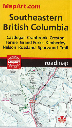
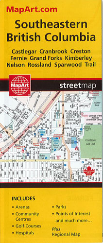
Southeastern British Columbia MapArt
$12.00
This Southeastern British Columbia by MapArt has a regional map @ 1:271,000 and includes detailed city mapping at 1:25,000 of Castlegar, Cranbrook, Creston, Fernie, Grand Forks, Kimberley, Nelson, Rossland, Sparwood and Trail. A city map legend and street indexes of each community is included along with a community index and regional map legend.
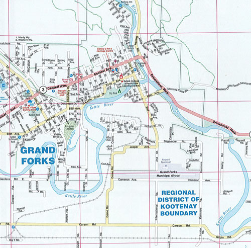
City map features include major roads, secondary roads, main thoroughfares, minor streets, lanes & private streets, one way streets, railways, border crossings, international boundaries, municipal boundaries, recreation trails, parks & conservation areas, golf courses, commercial areas, cemeteries, institutional areas, industrial areas, special attraction areas, Indian reserves, hospitals, tourist information centres, police stations, fire halls, municipal & regional buildings, courthouses, libraries, points of interest, beer stores, liquor stores, casinos, arenas, community & recreation centres, pools, baseball, soccer, tennis, skiing, campgrounds, public and independent schools.
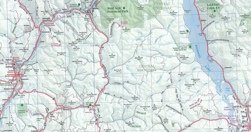
The regional map features include primary highways, secondary highways, unpaved secondary highways, paved and gravel roads, unimproved roads, railways, ferries, airports, hospitals, RCMP, customs, tourist information centres, campgrounds, lookouts & viewpoints, rest areas, points of interest, skiing, golf, peaks, beaches, boat launches, marinas, wharfs, waterfalls, rapids, hiking trails, time zones, boundaries, national parks, provincial parks, ecological reserves, Indian reserves, glaciers, populations and more.